Franklin Tree Removal has been doing tree removal in Thompson’s Station across more than twenty years of tree work in Middle Tennessee, and this is a town where the answer to “can it come down” is rarely just a question of the tree. It depends on how big the lot is, how high the ground sits, and whether that ground has been dug and put back before.
So we start every job here the same way. We find out which rules attach to the parcel before we quote it, we walk the ground the equipment will stand on, and we put in writing what is included — the stump, the trunk rounds, the grindings, the chips. Estimates are free, and if a job is not worth an insurance claim we will say so.
We also tell people when a tree does not need to go. Crown cleaning, a reduction worked to the cut types in the ANSI A300 standard, or cabling and bracing on a stem with included bark will often buy a sound tree another decade, and that is the cheaper answer.
Ground that has been mined and re-worked
The town says this about itself in its own code. Section 3.3.9 of the Land Development Ordinance opens with the words “Because of the history of phosphate and other mining activities within the Town,” and requires previously mined or disturbed areas to be assessed, mapped on the Natural Resource Inventory Map, and backed by engineered site plans and engineered foundations where a building envelope reaches into disturbed ground.
The reason is in the bedrock. The mapped unit under the town is the Nashville Group, and its Bigby-Cannon Limestone is a brownish-gray phosphatic calcarenite. The phosphate in that rock is what was worth digging for.
Williamson County’s soil-mapping regulation makes the same warning from the other side. A mixed soil area covering a large area rather than an isolated spot is a sign of past mining, county phosphate operations ran through the 1980s, and the mined areas in the 1964 county soil survey are not the only ones. The regulation names two other sources of mixed soil that matter just as much to us: back-filled pits, and land cleared by pushing up the stumps and root balls of large trees with a bulldozer.
What a grinder hits
Re-worked ground can hide buried wood, rubble and old fill, and none of that is visible from the driveway. It changes what a tracked stump grinder is cutting into and what a crane pad is bearing on, so we probe any lot that shows signs of disturbance.
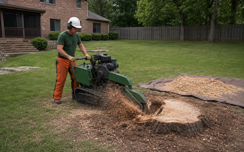
Depth to rock is the other half of it, and in this county it is a per-parcel number rather than a townwide one. The county records it by soil series in inches, with worked examples in exactly that form: Talbott at 20 to 22 inches to rock on 0 to 5 percent slopes, and Ashwood-Barfield-Rock Outcrops at 10 to 26 inches on 15 to 25 percent slopes. A grinder rated to cut 12 to 16 inches below grade is at or near refusal on soil like that, which is why we test the ground before we quote a grind depth.
The county also names five subsurface rock scenarios by shape — tabular, undulating, pinnacle and trough, floaters, and stair-step or ledge rock, the pattern most typical of hillsides. Floaters are the one that catches people out: a random buried block where nothing on the surface suggests it.
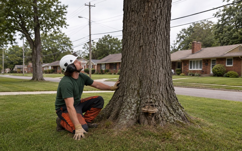
On re-worked ground the root flare is often buried under fill that was never native to the site, and a tree failing from a smothered collar looks, from above, like a tree failing for no reason. A root collar excavation with an air spade opens the flare without cutting roots and tells us whether we are looking at a removal or a soil problem.
Looking for tree removal closer to Nolensville? See Nolensville Tree Removal.
The 900-foot line, the slopes and the sinkhole buffers
The town center sits at an elevation of 801 feet, and everything at 900 feet or above is designated the Ridgeline and Hilltop Protection Area under Section 3.3.7. Development inside it is prohibited except by special exception from the Board of Zoning Appeals, and anything approved there needs a minimum lot size of five acres and a structure no taller than 32 feet. If your property runs up onto a ridge, the upper part of it is governed differently from the part your house sits on.
Slope is handled separately and just as firmly. Section 3.3.8 requires a slope analysis identifying every natural slope over 14 percent and designates any lot exceeding that a critical lot, needing engineered foundation and grading plans and an engineering report. Development on natural or created slopes over 20 percent is prohibited outright and constructed slopes are capped at 33 percent. Section 3.3.5 adds that soils with slippage characteristics must be mapped onto the slope analysis, with stamped plans where they meet slopes over 7 percent.
Where the machine can stand
None of those thresholds tell us where to park, but all of them describe ground we treat as unstable until proven otherwise. On a slope in the mid-teens we work off tracks rather than outriggers on soft fill, rig the wood down with a lowering device instead of dropping it, and set a crane on the flattest stable bearing we can reach, even when that means a longer boom.
The 50-foot no-disturbance ring
Section 3.3.6 requires every closed depression to sit in required or common open space with a 50-foot no-disturbance buffer circling its highest contour. In practice that is a permanent no-machine zone in the middle of otherwise usable ground — and because it has been left alone, it is frequently where the biggest trees on the property are still standing. Taking one down near that buffer is a rigging problem rather than a driving problem, and we plan it as one.
The permit the December 2025 code created
The Land Development Ordinance took effect in its comprehensive updated form on December 18, 2025, a single unified document holding both the subdivision regulations and the zoning rules. Tree protection lives at Section 3.3.14, inside the subdivision article rather than in a standalone tree ordinance, which is part of why homeowners often do not know it reaches them.
The permit language is broad. No removal or disturbance of existing trees on a parcel or development site may happen before approval of a Tree Removal Permit, a Building Permit or a Land Development Permit. The Department of Community Development issues the Tree Removal Permit and may issue it at the same time as a Land Development Permit. Removing a tree without one does not avoid the rules; the mitigation and replacement standards still apply.
The exemptions most homeowners actually land in
Several exemptions cover ordinary residential work: grubbing of trees and woody brush at a diameter at breast height of four inches or less; removal of a tree Town Staff determine to be unhealthy, a nuisance, or a threat to a structure, an underground utility or public safety; removal of a tree with written verification of its condition as dead or dying prepared by a qualified arborist; and removal of species on the current Invasive Plants list published by the Tennessee Invasive Plant Council.
That second route is the reason we write tree condition reports a homeowner can hand across a counter. Tennessee issues no trade-specific tree-care or arborist license, and the Tennessee Home Improvement license applies only in counties that adopted it, which Williamson County did not — so ISA Certified Arborist is the credential that actually means something when a written verification has to carry weight.
Which lots the standards reach, and how much canopy stays
Table 3-1 turns applicability on lot type. A platted residential lot of one acre or less, with or without an existing use, is subject to none of the three standard sets — not canopy retention, not the removal standards for existing lots, not specimen tree protection. A platted residential lot larger than one acre picks up the removal standards and specimen tree protection, though no Tree Protection Zone is established on it.
Where canopy retention does apply, Table 3-2 sets the minimum as a share of existing canopy and raises it as the site has less to begin with. In the TC, T1, T2, T3 and D-1 through D-3 districts a site with 80 to 100 percent existing canopy retains 30 percent of it, while a site with 19 percent or less retains 54 percent; the NC, CC, T4, T4O and T5 bands run 15 to 26 percent, and IL and IM run 12 to 16 percent. The ordinance works the arithmetic itself: a 100,000 square foot lot with 75 percent canopy must retain 27 percent of the site’s total area, a Tree Protection Zone of 27,000 square feet with no buildings in it.
Two more things are worth knowing before a saw starts. Damaging a tree through excessive pruning or topping is written into the ordinance as a violation in its own right, which is one more reason we work to A300 cut types and never top. And after a notice of violation, permit reviews for the site are stayed until Community Development approves a replacement plan.
Attached homes, narrow gates and where the wood goes
Of 2,364 owner-occupied units in town, 434 are single-family attached — 18.4 percent of the owner-occupied stock. That share changes what the hard part of a removal is. On an attached home the constraint is almost never crane reach; it is whether anything can get to the back at all, with a shared wall on one side and a fence line on the other.
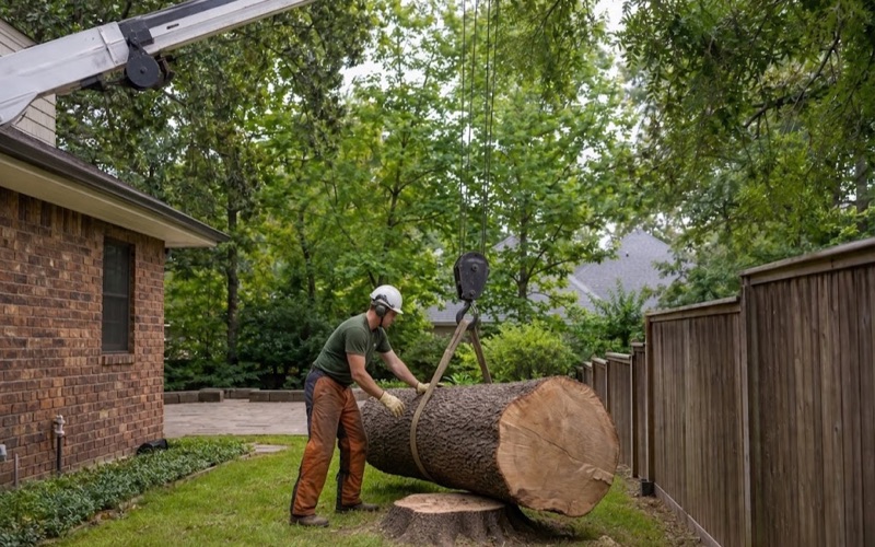
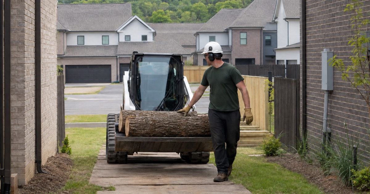
That is what our compact tracked equipment is for. A machine that fits a thirty-five-inch gate keeps a back-yard tree from becoming a street closure and a crane bill, and where the canopy has to come out over a roof we use a rigging and lowering device rather than a drop zone. When a tree genuinely is beyond that — mature stems on an older detached lot, or a leaner over a neighbor’s structure — we have the crane and rigging capacity to take it in controlled pieces.
Debris is part of the job here, not an afterthought
The Town provides no trash or brush service at all. Its own utilities page sends residents to their homeowners association or to the Williamson County convenience center next to Sarah Benson Park, and that center caps brush at three feet in length beginning May 4, 2026 — no help at all with a felled trunk. The Williamson County Landfill on Pinewood Road takes brush at $40.00 per ton and Class I and Class III/IV material at $75.00 per ton, and from May 4, 2026 there is no free disposal there either. We price haul-away into the job because there is no municipal pickup to leave it to.
Lines, ice and what is not ours to cut
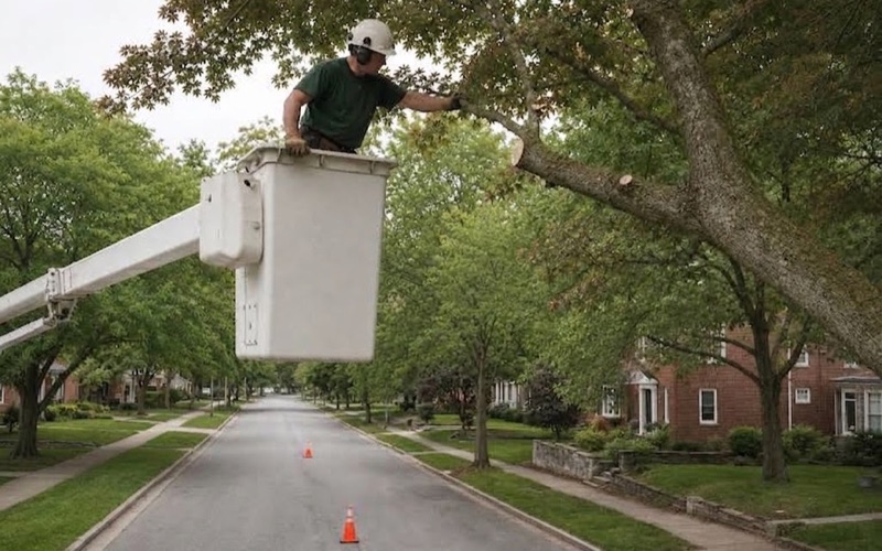
Middle Tennessee Electric Membership Corporation is the electricity provider the Town names, and line-clearance work in its rights-of-way is theirs. Its vegetation management line is 1-877-414-7685, and its No Grow Zone rule asks for 12 feet of clearance from the front of a pad-mounted transformer and 3 feet from the other sides — worth knowing before you replant.
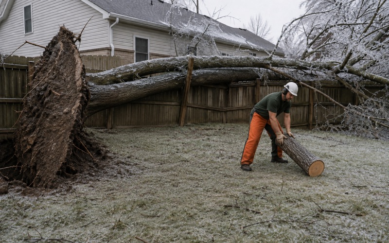
The failure mode we plan around here is ice, not tropical wind. Winter Storm Fern arrived early on Saturday, January 24, 2026 with snow, sleet and ice, produced close to 15,000 outages in Williamson County by the end of that weekend, and put trees and lines across county roads. Ice loading and straight-line wind are what our storm response is built for, because that is what this metro actually gets.
- 20+ Years in Middle Tennessee
- Free Estimates
- Written Scope Before We Start